At a time when climate change increasingly threatens water resources across the American West, what can we do to secure a future of sustainability rather than scarcity?
One promising way forward: Look to nature-based solutions from the past.
In the 16th century, long before Europeans settled the continent, the North American beaver was the continent’s most diligent and effective water manager.
Beaver dams – millions of small-scale barriers of twigs, branches and mud – created ponds that acted like giant sponges on the landscape. They stored moisture and created complex wetlands that sustained diverse flora and fauna. They captured sediment and snowmelt that slowed floodwaters and – because they were imperfect and leaky – released water downstream in more even amounts throughout the year.
Then, in a historical instant, beavers were gone from almost every creek and stream – trapped to near extinction to satisfy European trends that prized fur as fashion.
The disappearance of beavers and the natural reservoirs they built created a ripple impact across ecosystems – more erosion in rivers, fewer wetlands, drier landscapes. Many jurisdictions still consider beavers a pest that hinders agricultural productivity.
Today, however, beavers are having a renaissance moment among scientists, conservationists, land managers and some ranchers and farmers.
This keystone species is being rightfully recognized for its ability to restore watery habitat, improve riparian ecosystem health and improve the reliability of water supply – with potential implications for large river systems.
Particularly in dry regions like the Colorado River basin, these rodents can come to the rescue of river systems and are inspiring humans to build beaver-related natural infrastructure.
As part of our 2025 Environment program strategy, the Walton Family Foundation is supporting efforts to remove barriers to restoration and increasing funding for projects that re-establish structures mimicking the effects of beaver dams in degraded streams.
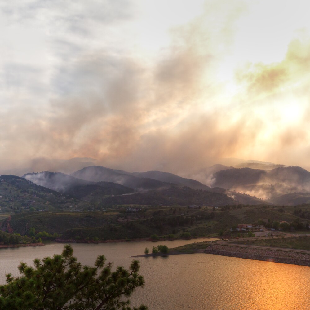
These structures can create a virtuous cycle of restoration that revives mountain meadows and stream meanders, supports wildlife populations, provides natural firebreaks and fire refuge for wildlife and alleviates impacts of post-fire flooding.
To assess the impact of this work, and its potential to provide system-wide benefit for Colorado River water management, the foundation has initiated an effort to identify and map changes in vegetated wetlands and beaver ponds throughout the basin.
The first-of-its-kind project, led by Lynker Technologies and the Colorado Natural Heritage Program (CNHP) at Colorado State University, will use remote sensing and machine-learning techniques to map the extent of wetlands and the presence of beaver ponds – and chronicle how they have changed over time.
Scientists will use high-resolution 4-band aerial photography from the National Agriculture Imagery Program (NAIP) and Light Detection and Ranging (LiDAR) remote sensing methods to map wetland extent.
The team has developed deep-learning algorithms to identify and detect beaver ponds from existing historical data, including the U.S. Fish and Wildlife Service’s National Wetlands Inventory.
Wetland ecologists from the Colorado Natural Heritage Program, led by Sarah Marshall, will provide training to the mapping team using direct knowledge of the beaver-dam complexes and conduct field surveys to measure map accuracy.
Not only will the maps provide insight into increases or decreases in wetlands over the past decade, but they can also show us ongoing changes including the addition of new wetlands, whether created through beaver-related restoration or beavers themselves.
The mapping data will be released publicly and provide a year-over-year analysis of the impacts of wetlands and beaver-related restoration projects.
The foundation’s support for beaver-related restoration reflects our belief in demonstrating the value of nature-based, nature-friendly solutions that restore ecosystem health and protect water quality and quantity.
At the same time, our investment in this wetlands mapping work is part of a commitment to invest in new technologies that can help the foundation and its partners learn how wetland coverage changes over the next five years.
We don’t yet know the full potential of beaver-related restoration or whether beavers themselves can mount a comeback, embraced as allies in the fight to protect against climate change.
But their ability to provide free, self-sustaining water infrastructure represents, at a minimum, an opportunity well worth exploring.