Recently, I had the privilege of taking in two perspectives on the people, places and natural beauty of Southeast Louisiana — a bird’s eye view from a seaplane and a look from the marsh’s edge on some of the world’s newest land emerging in the delta at Caernarvon.
Our plane trip was guided by Plaquemines Parish native son Richie Blink who, in addition to experience in commercial fishing, oil and gas services, and serving as the Plaquemines Parish Coastal Zone Program Manager, now serves as a community outreach coordinator for the Restore the Mississippi River Delta campaign. Partners from Baptist Community Ministries, the Rockefeller Family Fund and Louisiana Endowment for Humanities joined the flight.
The flight took us over Richie’s home town of Empire, Louisiana where he pointed to his father’s home, elevated nearly 21 feet to reduce the risk of flooding during storms, and showed us the cluster of raised homes that the community provides for school teachers and their families.
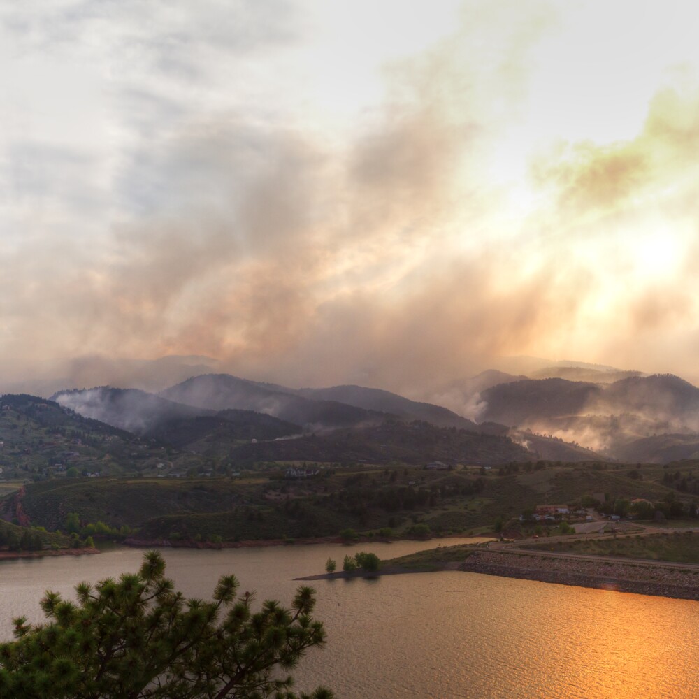
The vulnerability of the communities of Southeast Louisiana was palpable. The short flight back from the Gulf of Mexico to New Orleans highlighted how quickly a storm could strike at the heart of this region – a fact these communities know firsthand all too well.
Richie walked us through the state’s road map for addressing this vulnerability, the Master Plan for a Sustainable Coast. This 50-year plan lays out the projects that the state’s top scientists have identified as having the best chance for rebuilding the wetlands, marshes, oyster reefs and barrier islands that serve as the ‘multiple lines of defense’ against hurricanes and storm surge. Our flight path took us over several projects already underway. It was incredible to see the progress being made. That progress can only speed up with Louisiana’s commitment to use the funds from the recent oil spill settlement on getting restoration projects done.
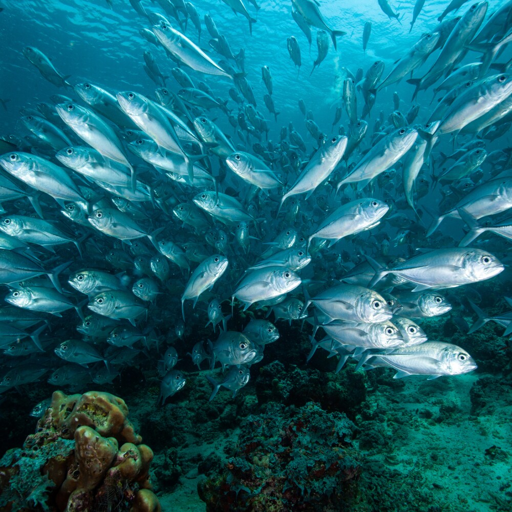
Tuesday was a "Chamber of Commerce" perfect day as we stepped into the airboats that would lead us to some of the newest land in St. Bernard Parish. Louisiana is grappling with the fastest rate of relative sea level rise (subsidence plus sea level rise) on the planet. In this case, we got to see land that has just recently emerged from a combination of sediment captured, seagrasses, and freshwater introduced from the Caernarvon diversion. While Caernarvon was not designed with land-building in mind — it was built for salinity control that minimizes sediment capture — the results are plainly visible to even the untrained eyes of airboat passengers.
Our guide, John Lopez of the Lake Pontchartrain Basin Foundation talked us through the learning needed to monitor Caernarvon. Between 1998 and 2011, 600 acres of wetlands grew from the open water receiving diverted water, creating a new delta and we were fortunate to boat right through it.
Joined by colleagues from the Kresge Foundation, we enjoyed an up close and personal look at wildlife, wetlands, and the magic sauce that makes Louisiana such a special place. We grappled with questions like how do we help make sure the money from the oil spill funds the projects in the Master Plan, and allows us to deliver on the promise of restoration? How can we work in partnerships to make sure local workers are competitive for the jobs building these projects down the line? And how to ensure communities are at the table to make these critical restorations?
Kristin Tracz is an environment program officer at the Walton Family Foundation.