Mark Twain once wrote of the Mississippi River that mankind “cannot tame that lawless stream, cannot curb it or confine it, cannot say to it, go here, or go there, and make it obey; cannot save a shore which it has sentenced; cannot bar its path with an obstruction, which it will not tear down, dance over and laugh at.”
Residents along this mighty river are well acquainted with this sentiment. Each year, as brutal winters in America’s Heartland give way to the thaw of spring, the river and its tributaries swell, flooding some areas close to the riverbank and threatening to breach the man-made protections built to contain it.
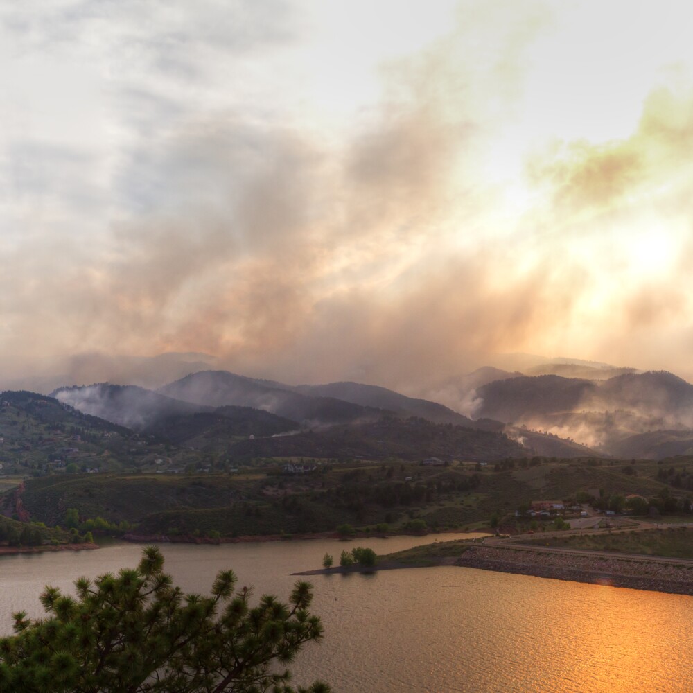
The 2019 openings of the Bonnet Carré Spillway, a U.S. Army Corps of Engineers project just north of New Orleans, are emblematic of both the rising threat of floods and the need for more sustainable solutions to address them.
For decades, the spillway has served as a pressure release valve of last resort. When flooding risks breaching the levees that protect coastal Louisiana communities, the spillways gates are opened.
Prior to 2011, opening the spillway was a rare occurrence. The opening of the Bonnet Carré in March 2019 was its fifth in a decade and the first in back-to-back years, the result of record-breaking precipitation in the Mississippi River basin.
The spillway was opened for a second time in 2019 on May 10 due to continued heavy rains in the lower basin - the first time an opening has been required twice in the same year.
While an essential safeguard today, it’s a less-than-ideal solution for the long-run. For instance, using the spillway creates unintended consequences that pose environmental risks even as the potential for flooding is decreased.
The surge of freshwater into Louisiana’s Lake Ponchartrain upsets the natural balance by displacing saltier water, potentially impacting fisheries and oyster beds as far away as Alabama. It also creates the potential for algae blooms as water containing upstream nutrients enters the lake.
Mother Nature once used floods to sweep nutrient-rich silt and sediment down from the Great Plains and deposit it in the vast Delta wetlands of coastal Louisiana. Today, levees, spillways and other flood control measures undercut that process, shooting the sediment-laden water straight off the Continental Shelf deep into the Gulf of Mexico.
Without continuous sediment replenishment to low-lying areas, South Louisiana is losing on average a football field of land every 100 minutes to the Gulf.
“The spillway was built in the 1930s, when it was the assumption that all wetlands should be drained,” explains David Muth, Director of Gulf Restoration for the National Wildlife Federation, a foundation grantee.
Today that notion has been turned on its head. David and others are working to reverse coastal land loss by “making room for the river” through 21st century water infrastructure planning that works with the surrounding ecosystem.
Through the Restore the Mississippi River Delta Coalition, David’s group and its allies believe the solution is to build more land through river diversions, projects that are key elements of Louisiana’s 50-year Coastal Master Plan. These diversions help restore the river’s natural processes of sending more sediment to wetlands.
While ultimately many diversions may be employed to help restore the Gulf Coast, two projects − the mid-Barataria and mid-Breton − are already funded and in the design and permitting processes. The scale of each project is unprecedented.
‘Healthy Soil Holds More Water’
Further upriver, several states have already suffered record flooding in the spring of 2019 due to rapid snowmelt, heavy rains and saturated soils. According to the National Oceanic and Atmospheric Administration, the potential for “historic” flooding in the upper Mississippi and upper Missouri River basins will persist through May.
In the agricultural Midwest, the foundation is working with farmers seeking practices that help ease the risk of extreme flooding over the long term, while also advancing practices that are sustainable from both an environmental and financial perspective.
One partner is the Iowa Soybean Association. Adam Kiel works on the organization’s water resources projects and with farmers to reduce the nutrient runoff into the river.
Through foundation-supported programs, the organization is testing and proving new conservation tactics to both slow and improve the water that flows through Iowa communities and south to the Gulf.
“Healthy soil holds more water,” which acts like a sponge during flood season, says Adam.
He and his team are testing soil improvement techniques including cover crops, no-till and strip-till farming and perennial cover on low-producing cropland. His organization is also working with farmers to sequester flood waters by building new wetlands and to reduce nitrogen and phosphorus runoff into the river through stream buffers.
Increasing the capacity of soils to absorb water in the upper Mississippi River basin wouldn’t totally mitigate flooding, especially in the spring when the ground is still frozen. But restoring some holding capacity to the soil and the landscape has the potential to help lower the threat.
As it looks for creative solutions to limit flooding risk, the Iowa Soybean Association is developing innovative financing options with cities like flood-prone Des Moines and Cedar Rapids to lower interest rates for municipal infrastructure upgrades if the city agrees to put a portion of the savings toward water projects.
As conservation groups and farmers continue to develop new and better ways to cohabitate with Twain’s “lawless stream,” the Walton Family Foundation is supporting their efforts up and down the river—taking every opportunity to leverage this positive and powerful force of nature.
This article was updated on May 10, 2019.